What Is God's Eye View? The Open-Source Live Tracking Map
God's Eye View is a free, open-source map of live planes, ships, satellites, traffic cameras and plate readers. What it does and the privacy debate.

What is God's Eye View?
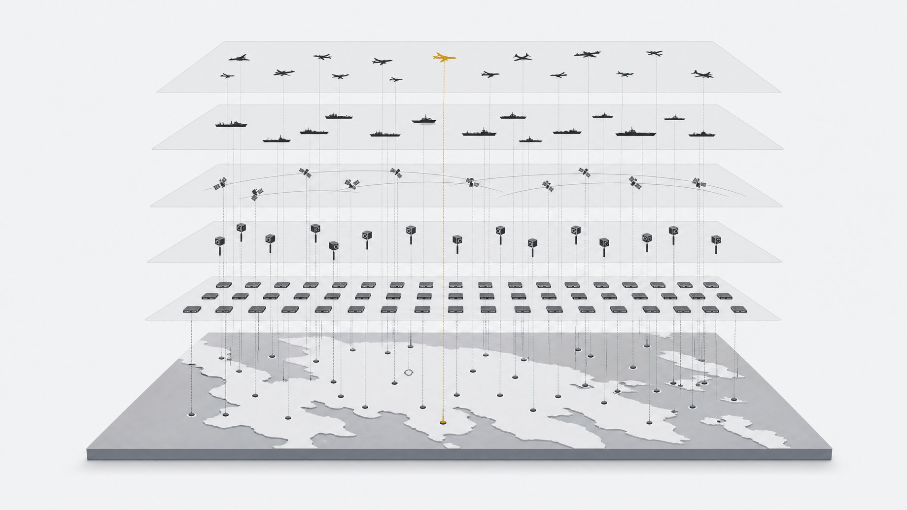
God's Eye View is a free, open-source tool that puts live planes, ships, satellites, public traffic cameras and license plate reader locations on a single interactive 3D map. A former Google 3D maps engineer built the first version over a weekend using AI agents. Anyone can download it and run it. It looks like a spy-movie control room, but the objects on the map are real and shown where they are right now.
TL;DR
- God's Eye View combines live aircraft, ships and satellites in one map, with labels on the moving objects.
- You can jump into the cockpit view of a flight and see the other flights around it in real time.
- The tool takes natural-language commands, so you can ask it to fly to a place instead of panning manually.
- It also surfaces public traffic cameras and license plate reader locations, which is where the privacy debate gets sharp.
- The first version was built in a weekend with AI agents, which says as much about the tooling as about the map.
- The underlying data is generally public. The new part is how easy it is to see all of it at once.
What can it actually show?
A creator who demoed the tool pointed to several features. All of them come from that demonstration, so treat this as a description of what was shown, not a full feature list.
- Live flights. Aircraft appear with labels. In the demo, a group of military helicopters was looping over a base in Alabama.
- Cockpit view. You can drop into the viewpoint of one aircraft and watch the other labeled flights moving around you.
- Ships and satellites. Both appear on the same map as the aircraft.
- Public traffic cameras. You can pull up camera feeds for a location.
- License plate reader cameras. The map marks where they are. In the demo, they covered basically every choke point in a city.
- Conversational navigation. You can talk to it and have it fly to any place in the world.
How does a tool like this get its data?
The sources don't list God's Eye View's data feeds, so I won't claim specifics. Tools in this category usually combine open feeds that already exist. Aircraft broadcast position data that hobbyist networks collect and share. Ships transmit identification and position signals. Satellite orbits are published as orbital elements, so a map can compute where a satellite is at any moment. Traffic cameras are often put online by transportation agencies. Plate reader locations are typically mapped through crowd-sourced efforts or public records.
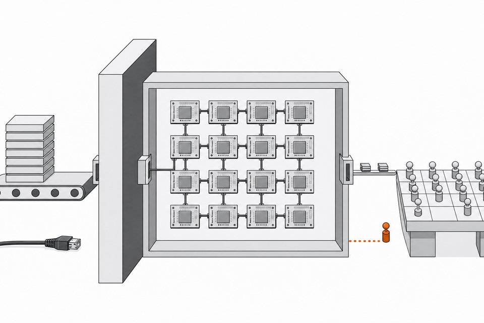
None of these feeds is secret on its own. What a map like this does is join them, label them and make them explorable. That is the work that used to take a team.
Why does it matter that an AI agent built it in a weekend?
The builder used to work on 3D maps at Google, so he knew what a good globe interface needs. The agents handled much of the build, and a working first version came out of a weekend. That changes the economics. A visualization that once justified a funded project can now be prototyped by one person with a clear idea.
It also changes who can build things like this. If one engineer can assemble a multi-source tracking view in a few days, the gap between "data exists" and "someone has made it easy to use" shrinks fast. Expect more tools in this vein, from people with very different intentions.
Is this really information only governments and Palantir had?
The video makes that claim: this kind of consolidated view used to belong to governments and companies like Palantir, and now it is open source and free. That is partly true and partly framing.
The consolidated, searchable, always-current view is the part that was hard to get. Individual pieces, like flight tracking websites, have been public for years. Palantir is known for integrating large data sets for government and corporate customers, and a free open-source map is a much lighter thing than that. It does not offer the same analysis, private data or support. It does offer the same basic feeling of seeing many sources at once, and that is what makes people uneasy.
Should regular people have access to this kind of data?
The creator called it "borderline creepy, but also still kind of pretty cool" and asked viewers what they think. Both reactions have merit.
The case for open access:
- The data is already public, so closing the tool does not close the sources.
- Journalists, researchers and watchdogs use open-source intelligence (OSINT) methods to check official claims.
- Mapping plate readers lets residents see how much surveillance infrastructure exists in their own city. Many people have never seen it laid out.
- Transparency about government surveillance is hard to argue against when the surveillance itself is paid for with public money.
The case for concern:
- Aggregation changes the risk. Many harmless facts, combined, can reveal patterns.
- Live aircraft and ship positions can matter for safety, security and privacy, especially for sensitive movements.
- A map of camera coverage can be read two ways. A citizen sees oversight gaps. Someone else sees places to avoid being recorded.
- Easy tools lower the skill needed to misuse them.
Neither side is silly. The practical question is less "should this exist" and more "what norms should surround data that is public but sensitive in aggregate." Tool builders, data publishers and agencies that post camera feeds all have a say in that.
What should builders take from it?
If you build with AI agents, the lesson is about scope. A strong domain expert plus agents can produce a polished multi-source product in days. That is useful, and it is also a reminder to think about what you are aggregating.
A few practical questions are worth asking before shipping something similar:
- Is every source actually public and licensed for this use?
- Does combining them reveal something none of them reveals alone?
- Who could be harmed by a live, searchable version of it?
- Would adding delays or filtering for sensitive categories lose much value?
Frequently Asked Questions
Is God's Eye View free?
Yes. According to the demonstration, it is open source, and anyone can download and use it for free. Check the project's repository for the license and setup instructions.
Who built God's Eye View?
A former Google 3D maps engineer built the first version over a weekend using AI agents. The sources spell his name inconsistently, so I have not named him here. Look to the project's repository for authorship details.
Does it show real-time data or recorded data?
The demonstration described the planes, ships and satellites as real and shown where they are right now. Update rates and delays for each data source weren't covered, so those details are worth checking in the project documentation.
Is it legal to use a map of license plate reader locations?
I can't give legal advice, and the sources don't address it. The creator's point was that this information is public and now easy to view. Laws about surveillance data, camera feeds and aircraft or ship tracking vary by country and region, so check local rules and each data provider's terms.
Can it replace professional intelligence software?
Nothing in the sources suggests that. It is a visualization tool that combines public feeds. Commercial platforms from companies like Palantir work with large, often private data sets and offer analysis features that a free map does not claim to match.
How we source, write, and correct our articles. Editorial standards